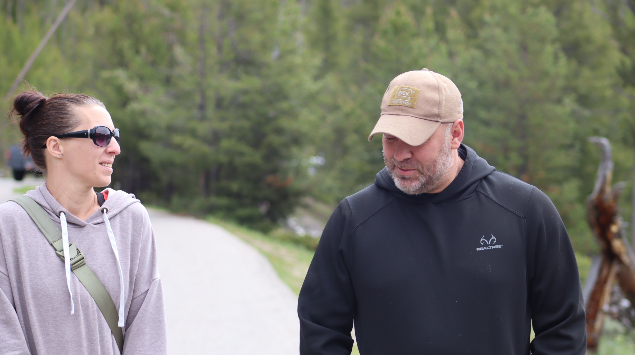
In August 2025, I found myself driving across Montana with a list of places mentioned in Justin Posey’s book which I did a post about a while back.
I was not expecting to simply arrive somewhere, step out of my truck, and find the treasure. My goal was to understand the environments Justin wrote about. I wanted to compare his words with the real places.
Did the scenery match his descriptions?
What did the roads, trails, rivers, and campgrounds feel like?
Were there small details in the landscape that could explain the unusual wording in the poem and stories.
Part of this trip was an escape from ordinary life. Another part was an attempt to find something new. I knew my chances of finding the treasure were small, but I was searching for a bigger picture anyway.
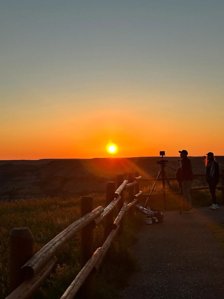
We can learn something about Justin through the stories he tells. Still, I believed that seeing these places in person might help me understand the person behind the writing. Perhaps the landscape could reveal details that were easy to miss on the page. Maybe even find the writings between the lines.
Arriving at Baker’s Hole
About two weeks into the trip, I left northwestern Montana and traveled south toward West Yellowstone.
On my first night in the area, I stayed at Baker’s Hole Campground, a few miles north of town. The next morning, I woke before sunrise and made a quick pot of coffee.
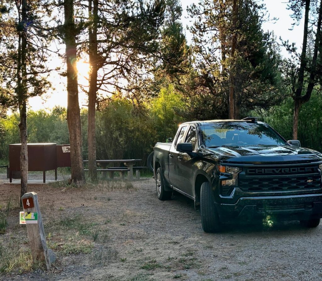
I was parked in campsite 4. From there, a short side trail led toward the river. The walk took less than a minute, but what waited at the end stopped me in my tracks.
The Madison River stretched out before me.
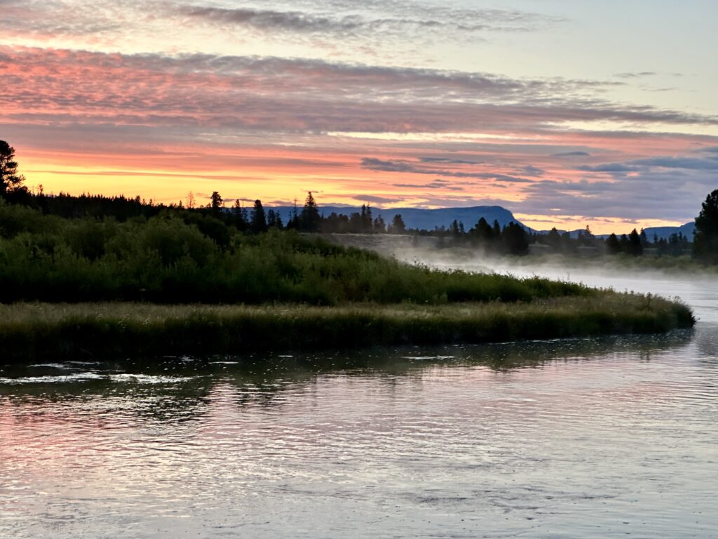
Steam raised from the water as the first light approached the mountain ridges. Beyond the river lay the Madison Valley. In the distance, I could see the opening where the Madison River leaves the canyon and continues westward out of Yellowstone.
From this area, the river follows the western edge of Yellowstone National Park. It first turns north and then bends west toward the Madison Arm of Hebgen Lake. The land around it is marked by old riverbanks, abandoned channels, and oxbows formed long before modern settlers arrived.
Standing there, I felt an unexpected sense of reverence.
The place felt welcoming. It was like walking into a stranger’s house and somehow feeling completely at home. I soon began exploring what it had to offer.
With bear spray in one hand and coffee in the other, I followed the river’s edge. The Madison crossed into Yellowstone and then returned to land within the Gallatin National Forest. I spent much of the morning walking, observing, and thinking about the poem.
One problem continued to bother me.
Justin had said that the treasure was not located in a place he specifically mentioned. How far away from a named location would I have to travel before I could feel confident that I was no longer searching in that location?
That question changed the way I felt about at the area but then something stood out to me.
The Boundary Trail
I discovered that the Boundary Trail runs from Baker’s Hole toward the West Entrance of Yellowstone.
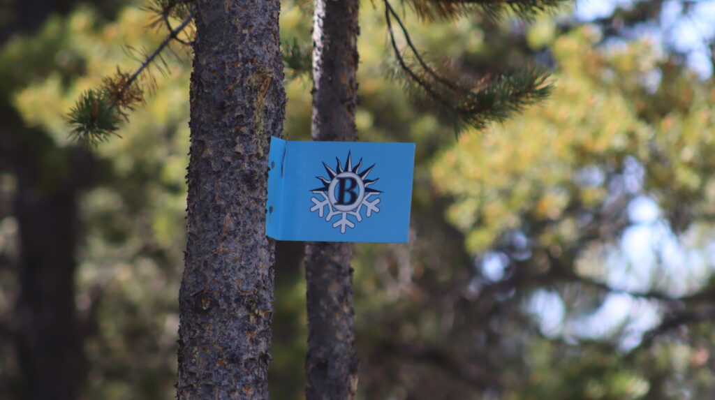
Justin wrote about spending a great deal of time in this region. If that was true, it seemed likely that he and Tucker had walked this trail. A round trip from Baker’s Hole could also come close to six miles, making it a good match for the long walks Tucker supposedly demanded.
Back at my truck, I began working through the poem again. This time, however, I noticed something I had never considered while studying maps at home.
It was the kind of thought that only occurred to me after putting boots on the ground.
Tucker could not freely search inside Yellowstone, but he could still enter certain developed areas of the park. That meant he may have been familiar with the region, even if his movement there was limited.
When Justin left camp to hunt or explore around the Madison, Tucker remained in the camper. If Justin used the larger campsites at Baker’s Hole, it is possible that he stayed in a spot such as campsite 42. This campsite has a clear view toward the canyon and the country where Justin would have been exploring.
This possibility gave me a new way to read the poem.
Instead of viewing every line through the eyes of a human searcher, I began to wonder whether parts of it were written from Tucker’s point of view.
The Solve
The route begins at camp beside the Madison River.
As hope surges, clear and bright,
Walk Near Waters’ Silent Flight.
Round the bend, past the hole,
I wait for you to cast your pole.
The journey starts in the morning near Baker’s Hole Campground. Campsite 42.
From there, the Boundary Trail follows the Madison River along the western edge of Yellowstone. The phrase “waters’ silent flight” could describe the river moving quietly through the valley. It might also describe the steam rising from the water during the cold early hours of the day.
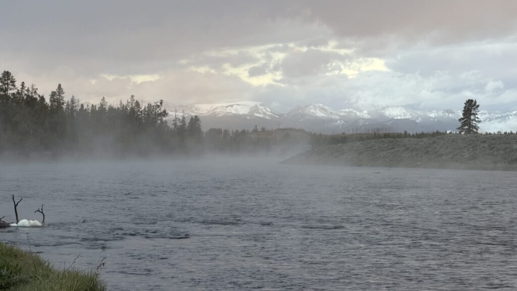
The directions are simple: walk near the water, follow the bend, and pass the hole. Walking from campsite 42 you would wrap around the bend of the river, and passed the Bakers Hole access point. If you continued walking, you come to the Boundary Trail.
Then comes the instruction to “cast your pole.”
At first, this sounds like a fishing reference with a small discrepancy. An angler casts fishing line into the water. To say someone casts their pole in the fishing world would warrant long stares and questionable knowledge of fishing. One could cast a pole if they were using a cane pole but that does not feel right given the location.
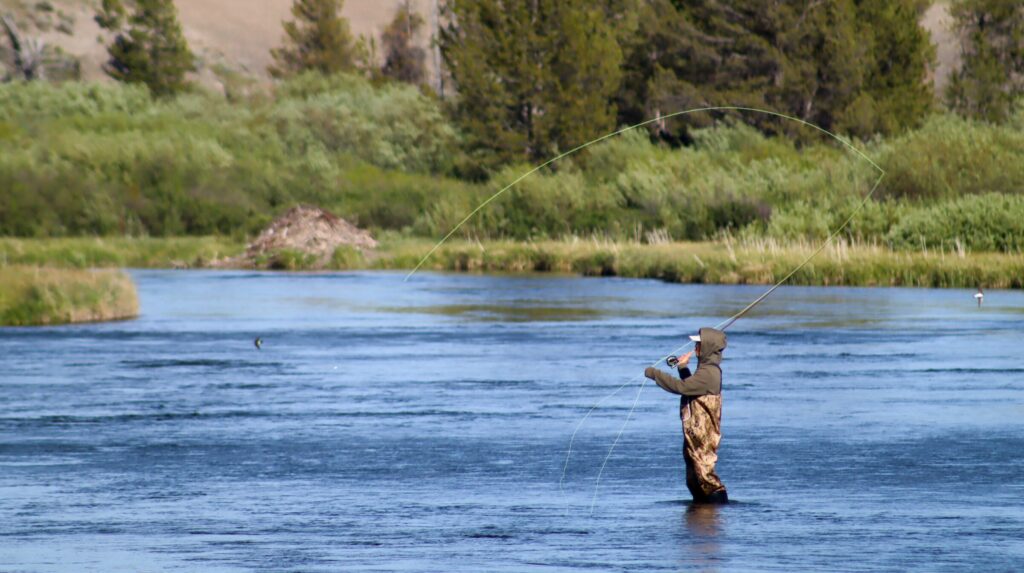
However, the word “cast” also has a meaning in dog handling. To cast a dog is to direct it toward an area to search, often using an arm or hand signal.
The poem may therefore be speaking in Tucker’s language.
The searcher has reached the area. Now it is time to begin searching.
The Realm and the Bride
The next stanza shifts the point of view:
In ursa east his realm awaits;
His bride stands guard at ancient gates.
Her foot of three at twenty degree,
Return her face to find the place.
From Tucker’s point of view inside the camper, Justin would have traveled east. If the camper was Tucker’s realm, then Yellowstone may have been Justin’s realm—the place where he explored, hunted, played, and disappeared from Tucker’s sight. Thinking like a canine and territory, this makes sense.
Looking east from Baker’s Hole, the land opens toward the Madison Valley and the entrance to Madison Canyon.
In my interpretation, the Madison Valley is the “bride.”
The valley stretches beneath the mountains and stands before the canyon entrance. The canyon appears to guard the opening into Yellowstone like a figure standing before a set of ancient gates. The sign at Bakers Hole even suggests this and points your attention to the canyon.
The bride may not be a single mountain or peak. She may be the entire valley. One thing that I found interesting is that while in town, I heard an older gentleman say “through the vale to Barnes Hole”. What an interesting way to say “valley”.
Her “foot of three” could refer to the Three Brothers, a group of mountains along the southern side of the canyon. They sit near the lower edge—or foot—of the valley/canyon just inside the canyon entrance.
From a north-oriented viewpoint, the mountains also appear at a slight angle. That angle might explain the reference to “twenty degree.”
The searcher must face the Madison Valley and use the Three Brothers and the canyon entrance to establish a line of sight.
That direction becomes important later.
Double Arcs on Granite
The next stanza appears to lead the searcher away from the Boundary Trail:
Double arcs on granite bold,
Where secrets of the past still hold.
Beyond the reach of time’s swift race,
Wonder guards this sacred space.
When the Three Brothers are aligned west to east on a map and a line is extended northward, it points toward the Harlequin Lake trailhead.
That location has an unusual connection to the book.
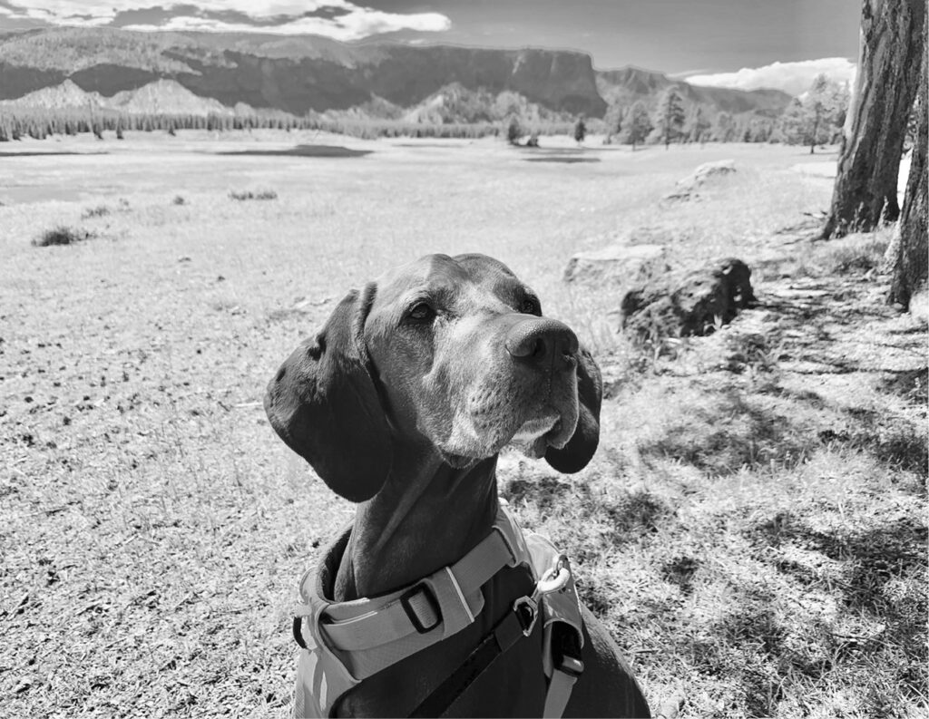
A photograph of Tucker appears directly north of Three Brothers with the caption, “Where is it?”
That may be a coincidence, but it is a difficult one to ignore. A poem centered on searching appears to lead toward a location where Tucker is shown asking the same basic question.
Near the parking area, the searcher may be expected to find something resembling “double arcs” on granite.
Dogs are allowed in some developed areas of Yellowstone, but their movement is restricted. Tucker could be near roads, parking areas, and campgrounds, but he could not freely travel into the backcountry.
Justin spent part of his childhood in this region. If he left a sign here, it might connect to something he and Brandon did while growing up-a game, a secret landmark, an old mark, or a place they once explored.
The clue may point not only toward geography, but also toward memory.
The Simple Truth
The final stanza warns the searcher against becoming trapped inside an overly complicated theory:
Truth rests not in clever minds,
Not in tangled, twisted finds.
Like a river’s steady flow—
What you seek, you already know.
This may be the poem’s way of saying that the “double arcs” are not the final destination. Traveling into Yellowstone may never have been necessary.
The granite clue may exist only to confirm you are thinking about the poem correctly. Once the searcher recognizes it, the route returns to the Boundary Trail.
Sled Hill and Old Bump
From the Boundary Trail, the Madison Valley and the canyon entrance can be seen from two nearby rises known as Sled Hill and Old Bump on the Boundary Trail. Neither name appears clearly on most ordinary maps, but both locations provide elevated views over the valley to the ancient gates.
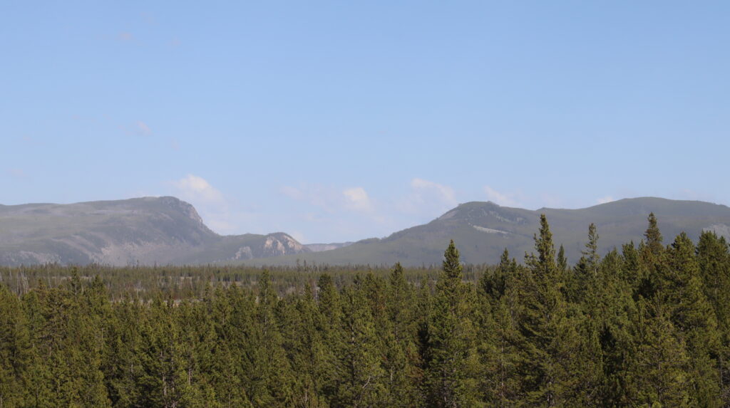
They also connect with details from Justin’s story.
Justin describes a hill that barely seems large enough to be called a hill. Old Bump fits that description remarkably well.
Sled Hill has a different connection. The book includes a childhood photograph of Justin and Brandon sledding on sand dunes. A place called Sled Hill could echo that memory.
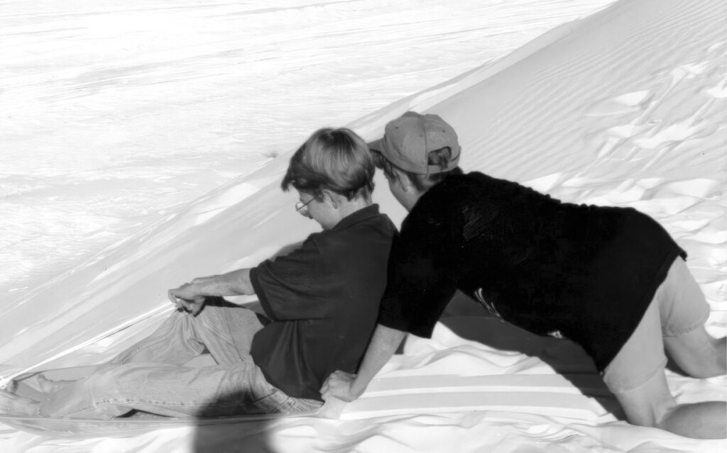
The two hills therefore have both geographic and personal importance. They stand near the river. They face the bride. They connect the landscape with stories from Justin’s past.
For those reasons, I believe they are the strongest candidates for the final search area.
Returning to the Bride’s Face
My proposed route begins beside the Madison River at Baker’s Hole.
The searcher follows the Boundary Trail near the water, rounds the bend, and begins to search. The searcher then faces east toward the Madison Valley—the bride standing before the ancient gates of the canyon.
The Three Brothers establish a landmark. Following that direction leads toward the Harlequin Lake area, where the “double arcs” may provide confirmation.
But the detour is not the destination.
The poem tells the searcher to return.
Back on the Boundary Trail, the searcher once again faces the Madison Valley from Sled Hill or Old Bump. From there, the bride, the canyon gates, the river, and the childhood connections all come together.
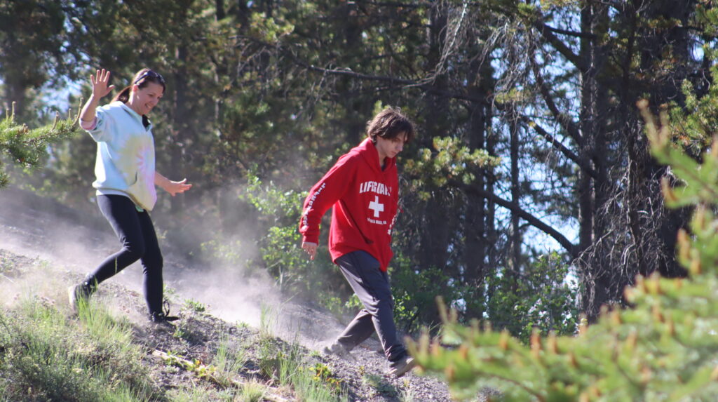
That, in my theory, is where the final location is at.
I did not leave Montana with the treasure in my hands. Still, the trip gave me something that maps and satellite images could not. It gave me the nudge to make it possible to bring my family back to experience it with me later.
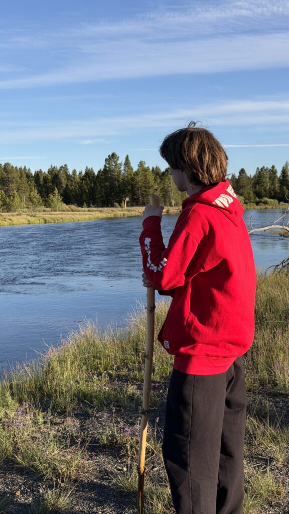
This year, my son graduated from high school and planned to move out. But after hearing stories about my adventures on the road, he decided that, as a graduation present, he wanted to head out and experience it for himself.
So we packed up the camper and hit the road.
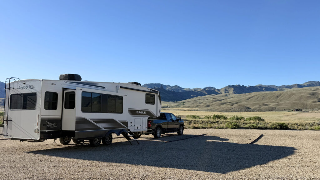
The trip became something I will cherish forever. More importantly, I was able to share the experience with my family. And if there is one thing I discovered along the way, it is that those memories are worth more than any amount of gold.
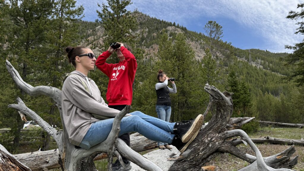
I still think this location has potential but for now, it sits here for you to read. Maybe, if anything, you will find what you are looking for too.
Justin, some nice ideas presented here. Your idea that Baker’s Hole Campground could be a jumping off point for the poem is compelling – since it does offer great access to explore the area. I was trying to book a reservation to check it out myself, but finding it impossible to get in there right now during peak season. I guess I’m going to have to leave the RV at home and figure out an alternative way in. Thanks!
Yea. It can be a bit difficult to get a spot if you are hauling a camper. There are plenty of areas in the Forest for dry camping that is not too far away.
Hello! Really enjoyed your read and it has been the number one spot ive studied since the beginning. I feel he hid it very close to fens treasure. But in montana somwhere near the boundary trail. Marrying the two. I also find it very interesting the first story he tells starts in bakers hole and then the treasure trail also at the end if the book it goes back to it. Same day aug 18th. I wanted to ask you one thing. You keep saying Madison Canyon and valley are east of bakers hole. Correct me if im wrong but its west of bakers hole on a map.
Thanks for the comment!
Madison Valley starts at 7 Mile Bridge East of Bakers Hole Campground and follows the Madison’s travel west. On many maps, Madison Canyon is marked inside the park just east 7 Mile Bridge.
With this said, there are some that will say that the Canyon is actually past Hebgen more west. They are not wrong either. There are more than one (I even asked the park ranger office in Madison Junction about it). Justin also talks about the Madison Canyon inside of the Park.
So when I talk about and Valley and Canyon, I am referring to the Valley and Canyon in the Park and not to the west of Bakers Hole.
Baker’s Hole, happens to sit in the valley so both directions are technically correct.
I hope that makes sense.
Yes it absolutely does. Thank you! Do you plan on ever heading back out? I live only about 4 hrs away
I do plan to go back to the area for sure! If not treasure hunting, I will def be back just to explore more. I absolutely love the area and want to fully explore the trails on the Western border.
One of the areas I have not made it to yet is where the old military plan wrecked about 4 miles south of West Yellowstone.
Awesome man. I know its there right there somewhere sitting not to far from the Maddison. Everything in his book if you read it right screams it. Thats why he left the 50 dollar bill out in his story when he was saving up money for the prize. President Ulysses S. Grant is on that bill and he signed the law that created Yellowstone National Park in 1872. Its a nod. Plus the two ribbons in the series when he finds the treasure location. And two ribbons trail head right there on the edge of W yellowestone. And idk if you ever noticed the map on his website. Tale another look at it with yellowestones name in mind on the map. Nobody talk about it its a huge huge clue. I havent seen posted anywhere. Lmk what you think. Haven’t shared it with anyone. And havent seen it on reddit. But you shared a lot. And i enjoyed it. Soo there you go. Have a look its an eye opener.
Im going out there in a few days for 3 weeks in my trailer. Ill be scouring that area. And thinking about your post. 👍
Hey justin! I was wondering where you saw those boundary markers. Im at bakers hole and the trail along the river is very choppy. I doubt he walked that trail. Its mud, water sometimes a small trail then back to mud and water. We’re just walking the road pathway through the campsite?