Far too often, we find ourselves wanting to do something in life but never quite getting around to it. We set ideas aside for another day, but that day rarely seems to arrive. Having learned how difficult it can be to look back and realize I missed an opportunity, I decided to stop putting this one off. I planned a field trip to learn about the beginnings of the United States of America.
This trip was not simply about visiting historic places. I wanted to stand in real, specific locations and be able to say, “Yes, this is where it happened, and this is why it mattered.” I wanted to visualize history while grounding what I saw in factual information.
What I discovered was that parts of our history have been altered, simplified, and, in some cases, nearly forgotten. To my surprise, what began as a field trip soon became something of an obsession.
This blog post will cover the journey at a high level, but I plan to dig much deeper in a podcast series, or perhaps in a collection of posts devoted to each historical stop along the way. I am no historian, and I do not pretend to be an expert. Still, maybe I can share something you have not heard before, point you toward a place worth visiting, or give you a reason to look more closely at a piece of history you thought you already knew.
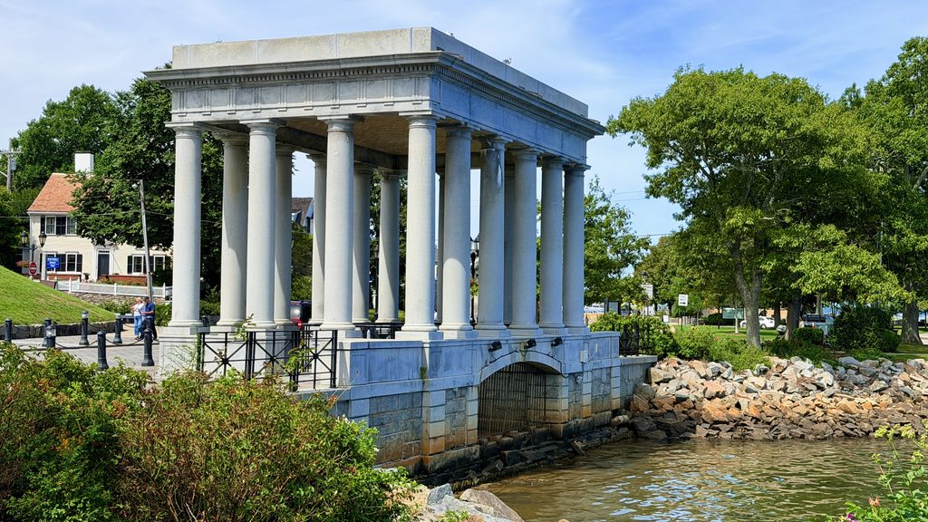
The journey consisted of several individual trips spread over about two months. The itinerary itself was simple: I would begin in Plymouth, Massachusetts, and work my way through the history books until I reached the Northwest Ordinance of 1787.
I chose 1787 as my stopping point because it marked one of the last major foundational developments before the adoption of the U.S. Constitution. That is not to suggest that what came afterward was any less important. By then, however, the country had largely moved from the question of how it would be created to the much messier question of how it would function. What followed was, in many ways, a long period of growing pains as Americans began the difficult process of finding their footing as a nation.
Stop One: Plymouth, Massachusetts
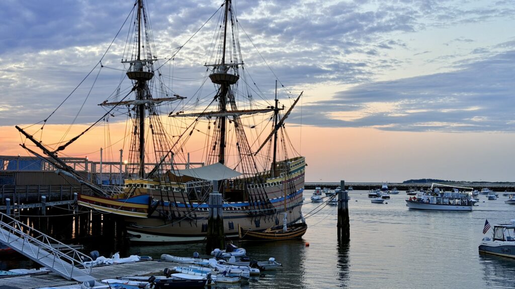
Founded in 1620, Plymouth became the settlement established by the passengers of the Mayflower after their voyage across the Atlantic. Their original destination was farther south, in the region of the Virginia Colony, but difficult weather and navigation pushed them off course. Instead, they arrived off Cape Cod in November 1620.
After exploring the surrounding coastline, they chose a site at Plymouth and began establishing the settlement in December. Much of the group continued living aboard the Mayflower through that first winter while shelters were built on shore. By the following spring, those who had survived the winter began moving fully into the new settlement.
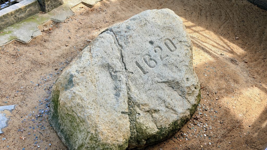
Their “official,” or perhaps unofficial, landing place is known today as Plymouth Rock, along the waterfront in present-day Plymouth, Massachusetts. There is no contemporary record showing that the Pilgrims actually stepped ashore at the spot marked by the rock, a fact that the National Park Service and local historical interpreters make clear.
The association with Plymouth Rock developed much later, but over time the site became deeply connected with the story of the Pilgrims’ arrival. Whether or not anyone from the Mayflower actually set foot on that particular stone, Plymouth Rock became a symbol of the settlement’s beginnings and is now preserved as a historic landmark.
The Origin of Thanksgiving
Not long after establishing Plymouth, the Pilgrims came into contact with the Wampanoag people. Relations between the two groups were generally peaceful during the colony’s early years. The Wampanoag helped the newcomers learn how to grow food, locate resources, and better understand the surrounding land.
In 1621, the Pilgrims and a large group of Wampanoag gathered for a harvest feast that lasted several days. The Wampanoag contributed local game, including deer, while the Pilgrims provided food from their harvest and hunting.
Their relationship extended beyond food and survival. Earlier that year, Plymouth’s leaders and the Wampanoag sachem Ousamequin, commonly known to the English as Massasoit, had entered into an agreement intended to preserve peace and protect their mutual interests.
The 1621 gathering would later become closely associated with the American Thanksgiving tradition, although its meaning and legacy are more complicated than the familiar national story suggests. Wampanoag historians and communities have challenged many of the ways the event has been portrayed over time. The gathering itself, however, is documented in contemporary accounts.
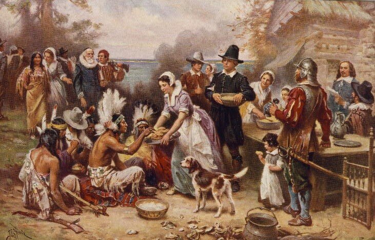
The Pilgrims viewed the occasion primarily as a harvest celebration and a time of fellowship. They did not call the 1621 gathering “Thanksgiving” in the modern sense, but over time the event became closely associated with the American Thanksgiving tradition.
Fun Facts
- The Pilgrims did not commonly call themselves “Pilgrims” at the time. The name became associated with them later, drawing in part from William Bradford’s description of their journey as a pilgrimage.
- The Pilgrims represent an important chapter in the history of English settlement and the development of American political culture, but they were not the beginning of American history. Indigenous peoples had lived on the continent for thousands of years, and other European settlements had already been established before Plymouth.
- The identification of Plymouth Rock as the Pilgrims’ landing place rests largely on oral tradition. In 1741, Thomas Faunce, an elderly Plymouth resident, identified the rock as the site he had been told was connected with the original landing. His account came more than a century after the arrival of the Mayflower, and there is no contemporary evidence confirming that the Pilgrims actually stepped onto the rock.
- The 1621 harvest gathering lasted about three days. It was not yet the Thanksgiving holiday Americans recognize today, but it later became one of the events most closely associated with the holiday’s origin story.
Stop Two: Boston, Massachusetts
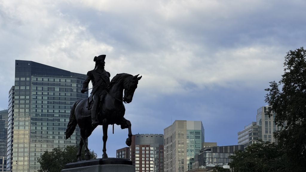
Boston was founded in 1630, ten years after the arrival of the Mayflower at Plymouth. Located north of Plymouth, the original settlement occupied a relatively small peninsula. Boston is still compact geographically, but the city is considerably larger today because of extensive landfilling projects that expanded its shoreline over the centuries.
Boston was a must-see stop on this trip because of its enormous political and historical significance. Often described as one of the birthplaces of the American Revolution, the city became the setting for many of the events that pushed the colonies toward independence. It was also where I spent more time than anywhere else on the journey. There was simply too much history concentrated in one place to treat Boston as a quick stop.
Frankly, Boston and its history are simply too much to fit into a single blog post in this format. Rather than attempt to cover everything, I am going to focus on a few of my favorite locations in and around the city.
The Boston Tea Party Museum
This was my first stop in Boston, and it also led to the first real mystery of the trip. What began as a simple visit eventually sent me down a week-long rabbit hole of old maps, historical accounts, and attempts to identify one very specific location on the ground. Once the question got into my head, I needed to know the answer.
I will come back to that mystery shortly. First, the story itself.
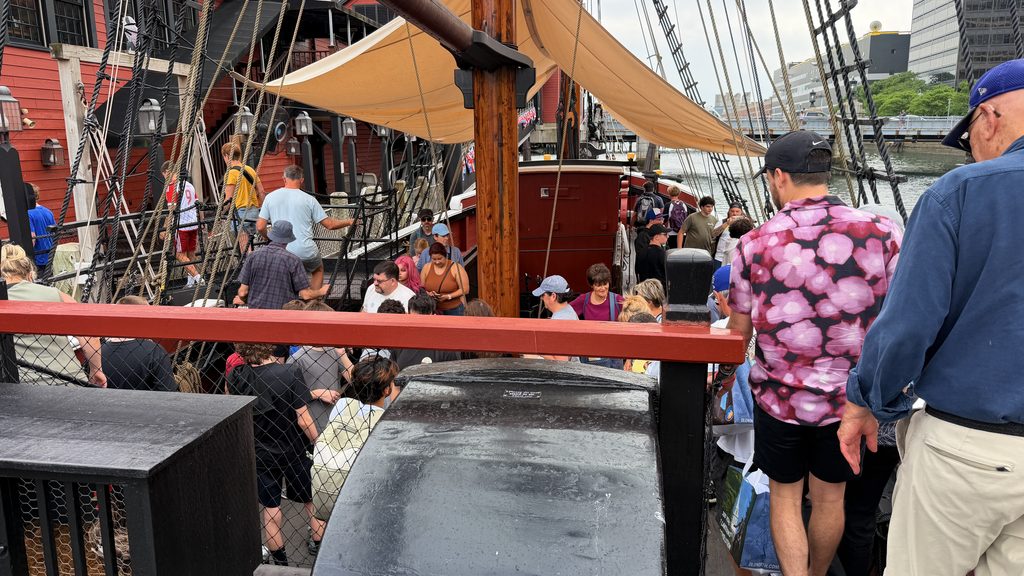
The Boston Tea Party Ships & Museum sits near the mouth of Fort Point Channel on Congress Street, not far from the area where the Boston Tea Party took place on December 16, 1773. Few events leading up to the Revolutionary War are as widely recognized, but the Tea Party was more than a dramatic act of political protest. It was deliberate, organized, and aimed at one very specific target.
That evening, following a large public meeting at the Old South Meeting House, a group of protesters made their way to Griffin’s Wharf, where the Dartmouth, Eleanor, and Beaver were moored. The three ships had become the center of an escalating political standoff because of what they carried in their holds.
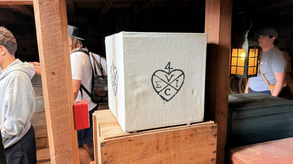
Their cargo included tea belonging to the British East India Company. The tea itself, however, was only the breaking point in a much larger dispute with the British government. For years, many colonists had objected to Parliament imposing taxes on them while they had no elected representatives in Parliament. The Tea Act of 1773 intensified that conflict, and by December the dispute in Boston had reached a breaking point.
Once aboard the ships, the protesters opened the tea chests and dumped their contents into Boston Harbor. The destruction continued for roughly three hours. What is remarkable is how controlled the protest appears to have been. The tea was the target, not the vessels. Afterward, the protest participants reportedly swept the decks and left the ships otherwise largely undamaged before departing.
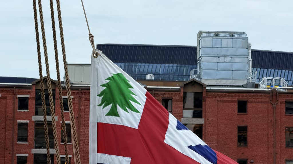
There is much more to the Boston Tea Party than can reasonably fit into this post. The events leading up to that night, the people involved, the political calculations behind it, and the consequences that followed could easily fill an entire article of their own.
The Mystery
Knowing that the museum sits only “near” the site of the Boston Tea Party, and knowing how dramatically Boston’s shoreline has changed through landfilling, I became determined to figure out where Griffin’s Wharf had actually been. I wanted to stand as close as possible to the place where the ships were moored on December 16, 1773.
Not far from the museum, I found a plaque identifying an area associated with the Boston Tea Party. The problem was that the location did not seem to line up with what I was finding on historical maps. That discrepancy only made me more curious.
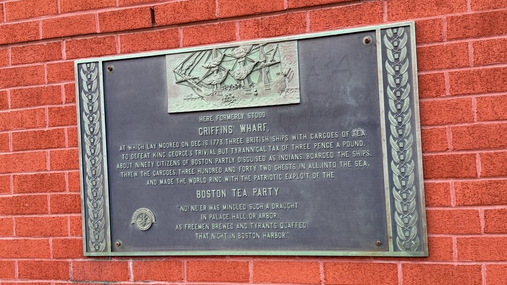
I started digging through old maps of Boston, looking for ones drawn as close as possible to the time of the Tea Party. Eventually, I found period maps showing Griffin’s Wharf along the old shoreline. I also came across an excellent independent research project that had already tackled the same question, comparing maps from 1769, 1777, 1800, and later periods to determine where the wharf would fall on the modern street grid.
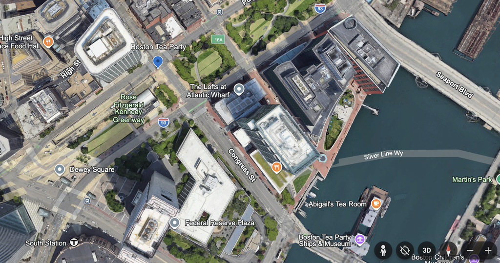
That research placed Griffin’s Wharf near the southwest corner of Congress and Purchase Streets. Today, much of the old wharf area is buried beneath filled land. The exact footprint is difficult to establish with absolute certainty because the surviving historical maps do not agree perfectly, but the evidence places it approximately 980 feet northwest of the museum.
That was close enough for me. After spending far more time studying old maps than I originally intended, I finally had a modern location I could walk to and say, with reasonable confidence, “This is where it happened.”
For anyone interested in going down the same rabbit hole, the research I found is available here:
https://losthistory.net/btp/index.html
Fun Facts
- According to later accounts, the protesters broke a single padlock while boarding the Dartmouth. The lock was reportedly replaced the following morning.
- Some participants disguised themselves as Native Americans during the protest, most often described in later accounts as Mohawk disguises.
- The ships carrying the tea were relatively small, much smaller than I had imagined before seeing the museum’s reproductions.
- The museum experience is a must.
- The boycott on tea is a big reason Americans now value coffee more than tea in general. This act of protest still survives today, even if you did not know you were participating.
Paul Revere’s House and the Famous Midnight Ride
This was one of the stops I had wanted to see, but I found myself enjoying it far more than I expected. It became more than another check mark on my list of historic locations. The story of Paul Revere is much more nuanced than I had been led to believe.
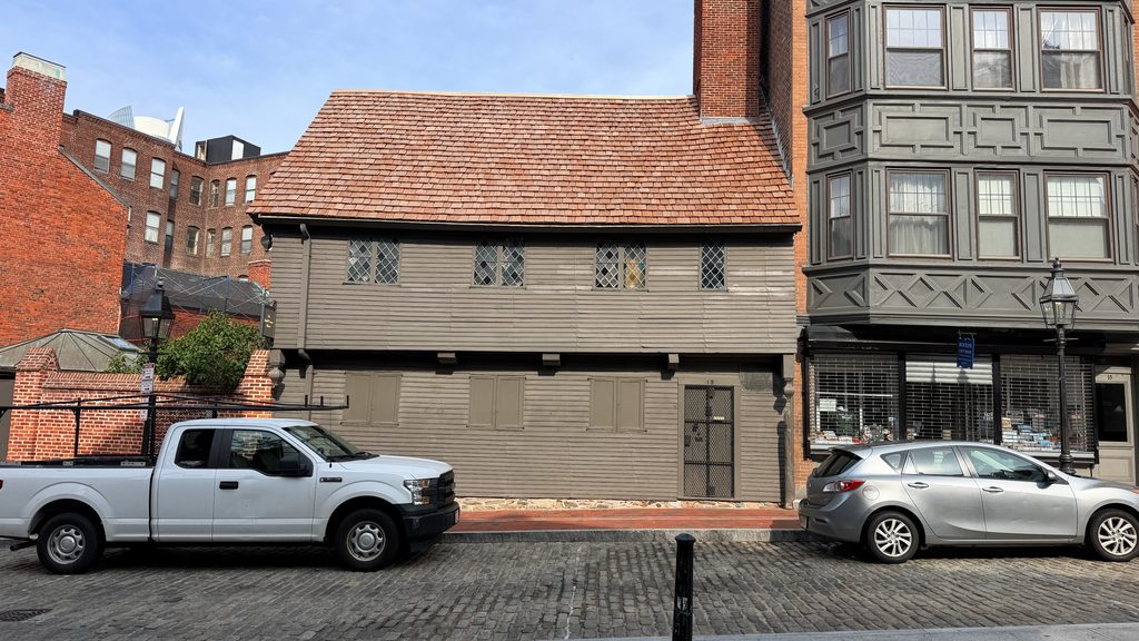
Paul Revere was a well-known member of the Sons of Liberty and a silversmith in Boston. I tend to think of him as an early version of a mail carrier, although that probably oversimplifies what he actually did. When he was not working as a silversmith, he took part in the activities of the Sons of Liberty and helped carry news, updates, and messages between patriot groups in the colonies. Over time, he earned a reputation as a dependable and trusted messenger.
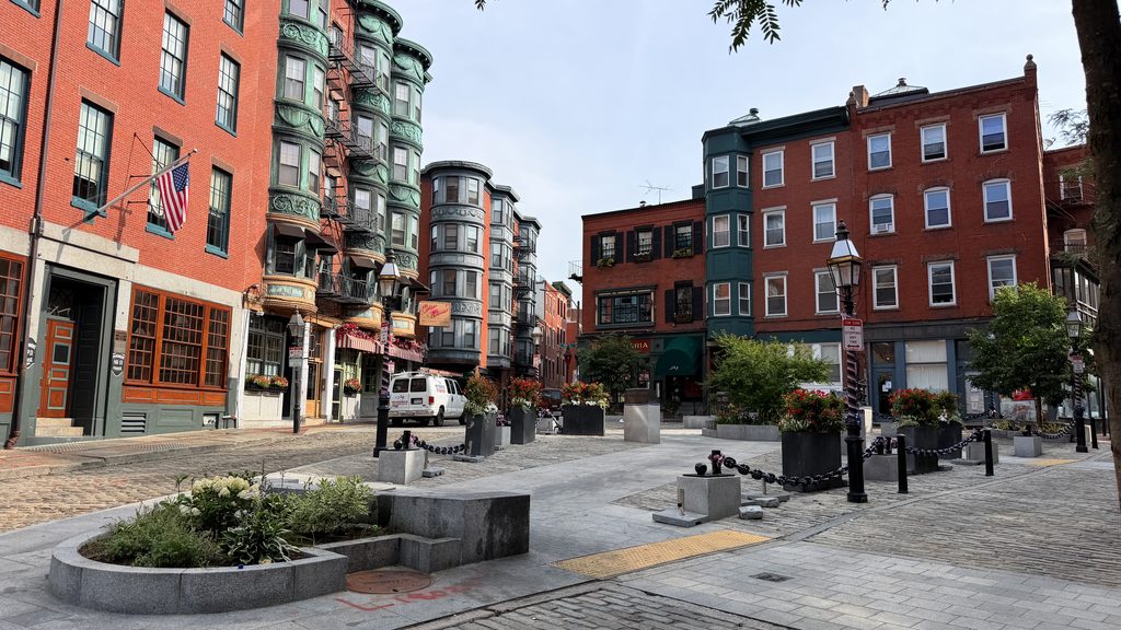
Revere’s house still stands in Boston’s North End, and is the oldest remaining house in downtown Boston. It is now a museum open to visitors.
I spent a surprising amount of time outside the house, simply poking around and taking in the neighborhood. I am sure the area looked completely different in the 1770s, but standing there, I could almost separate it from the busy city surrounding it now. For a little while, it felt removed from modern Boston, which may have been part of why I stayed longer than I had planned.
The Midnight Ride
Most people know the story of Paul Revere’s midnight ride through the countryside. What they may not know is that the real ride was far more suspenseful, and much more than the version many of us learned in school. For one thing, Revere almost certainly did not race from town to town shouting, “The British are coming!”
Much of the popular image of that night comes from Henry Wadsworth Longfellow’s poem “Paul Revere’s Ride.” Longfellow took the basic outline of the event and turned it into something larger, and more heroic. He compressed events, and placed Revere at the center of a story that actually involved several riders and a much broader network of patriots carrying warnings through the countryside.
The poem was memorable enough that, over time, parts of Longfellow’s version became tangled with the history itself.
Revere and Robert Newman had arranged a simple warning system using lanterns in the steeple of Boston’s Old North Church. One lantern would signal that the British were moving by land, while two would mean they were crossing by water. The lanterns were not the main warning system so much as a backup, a way to get the message across the Charles River if Revere himself could not.
The real strength of the plan was the network already in place. Revere and other members of the patriot movement had established riders and contacts who could spread the warning from town to town. Revere’s job was not simply to make one dramatic ride. He was part of a larger system designed to make sure the message kept moving even if one messenger was stopped.
On the night of April 18, 1775, Revere’s journey did not begin on horseback. He first had to cross the Charles River by boat, slipping past British patrols in the darkness. Only after reaching the opposite shore did he obtain a horse and begin riding toward Lexington, carrying the warning that British regulars were on the move. Concord lay farther along the route, but Revere would never make it there himself.
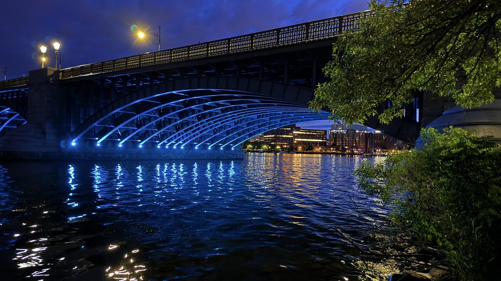
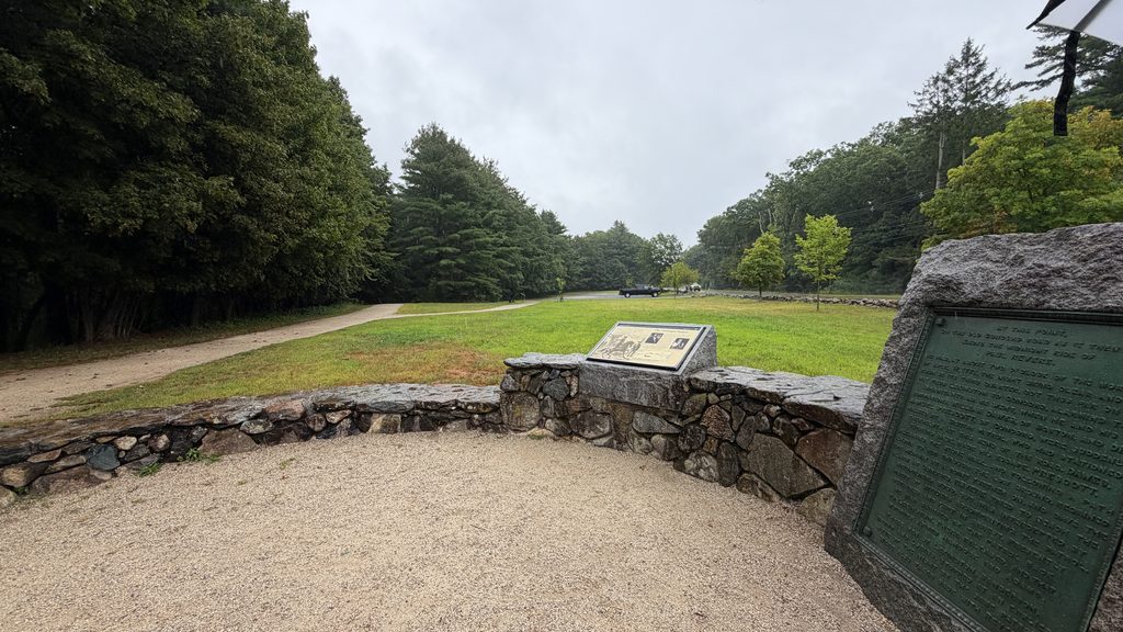
The alarm continued to spread through Lexington and toward Concord through a widening network of riders and messengers. Revere, meanwhile, was stopped and captured by a British patrol before he could reach Concord. He warned his captors that their movements were no longer secret, prompting the patrol to turn back toward Lexington rather than continue on with him.
Other Notable Stops
- Boston Public Library +++
- The Boston Massacre Site ++
- Quincy Market ++
- The Freedom Trail +++
- Boston Public Garden and Common +++
- Beacon Hill ++
- Bunker Hill ++
- USS Constitution (Old Ironsides) +++
Stop Three: Lexington / Concord
Continuing the journey, Lexington and Concord were the next stops. Here, the tensions and events that had been building for years finally came together, pushing the colonies into open conflict with Britain and beginning the next stage of America’s struggle for independence.
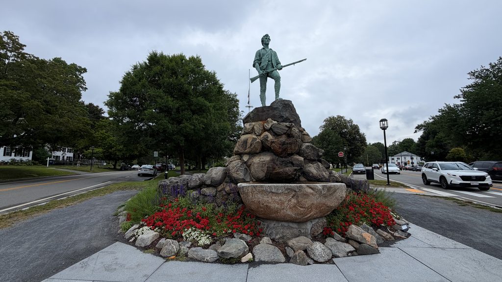
Lexington and Concord are often spoken of as though they were a single event, but in reality, they were two separate encounters that unfolded on the same day.
On April 19, 1775, approximately 700 British soldiers marched toward Lexington, where they encountered members of the local militia. Thanks to the warnings carried by Paul Revere and the other riders, the countryside knew the British were coming, and the militia had time to assemble. About 77 militiamen gathered on Lexington Green under the command of Captain John Parker.
Parker knew his small force was in no condition to fight hundreds of British regulars. As the British troops approached, he ordered his men to disperse from the Green rather than engage them in battle.
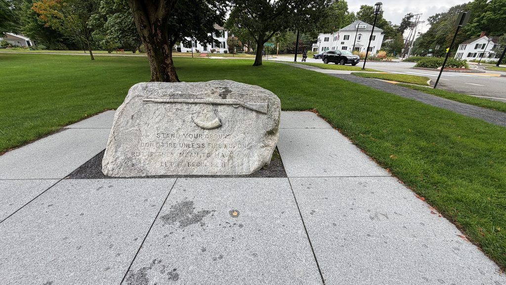
Around the time Parker gave the order, a shot was fired. No one knows for certain who fired it. Within moments, British soldiers opened fire and charged the militia. The encounter lasted only minutes, but eight colonists were killed and several others wounded.
The British soldiers quickly regrouped and continued their march toward Concord, where the events of the day would take a very different turn.
Concord, Massachusetts
Concord, Massachusetts, is where years of turmoil, resistance, and growing rebellion finally erupted into open war. To understand why the British were marching there in the first place, it helps to know what they were after. Concord had become a storage point for weapons, ammunition, and other military supplies gathered by the local militia, and the British intended to seize or destroy them.
By the time the British reached Concord, militia companies from Concord and surrounding towns were already gathering. Much of the most valuable military equipment had been moved or hidden before the British arrived, limiting what they would ultimately be able to find.
The British entered Concord and divided their forces. Some soldiers searched buildings and storage areas in the town center, while others were sent to locations where military supplies were believed to be hidden. They found and destroyed some equipment, including gun carriages, flour, and other supplies, but they recovered far less than British commanders had hoped.
Meanwhile, militia forces gathered on the high ground outside Concord. At first, they were outnumbered and avoided a direct confrontation. As additional militia companies arrived from neighboring communities, and continued to grow.
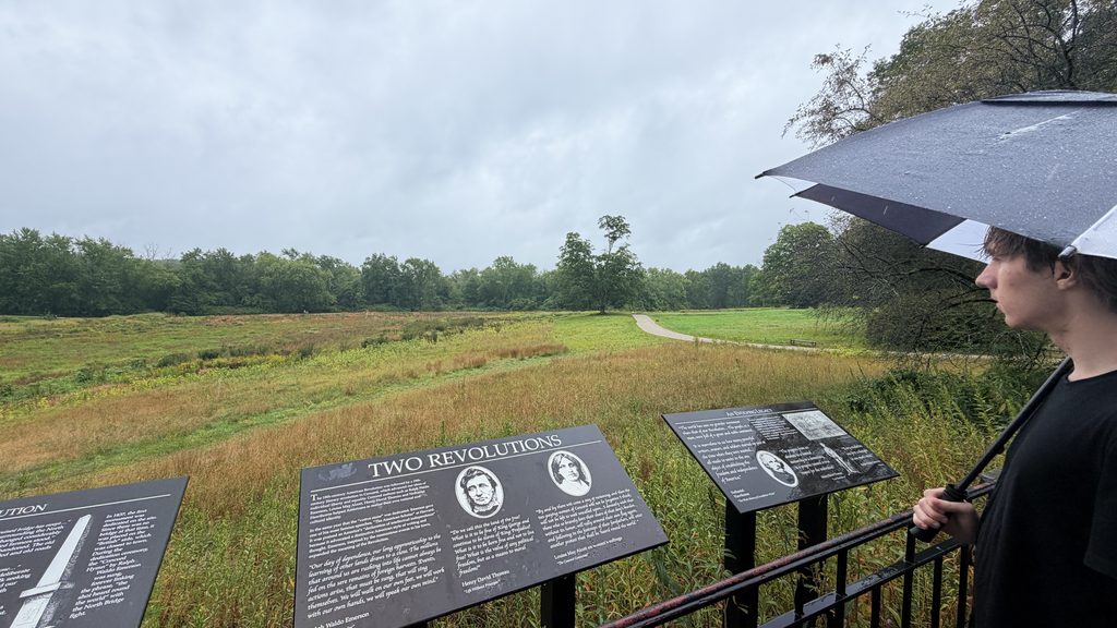
A key moment came when British soldiers began burning some of the military materials they had found. From the hills outside town, the militia could see smoke rising over Concord. Rumors quickly spread that the British were burning homes and possibly the town itself. Although those reports were inaccurate, the sight of the smoke convinced many of the militia that they could no longer remain on the hill and watch.
The militia began marching toward Old North Bridge, where a British detachment had taken position. By this point, word of the deaths at Lexington had already reached them. Combined with the belief that Concord might be burning, the events of the morning had changed the mood. The militia was no longer simply gathering and observing. They were preparing to fight the British.
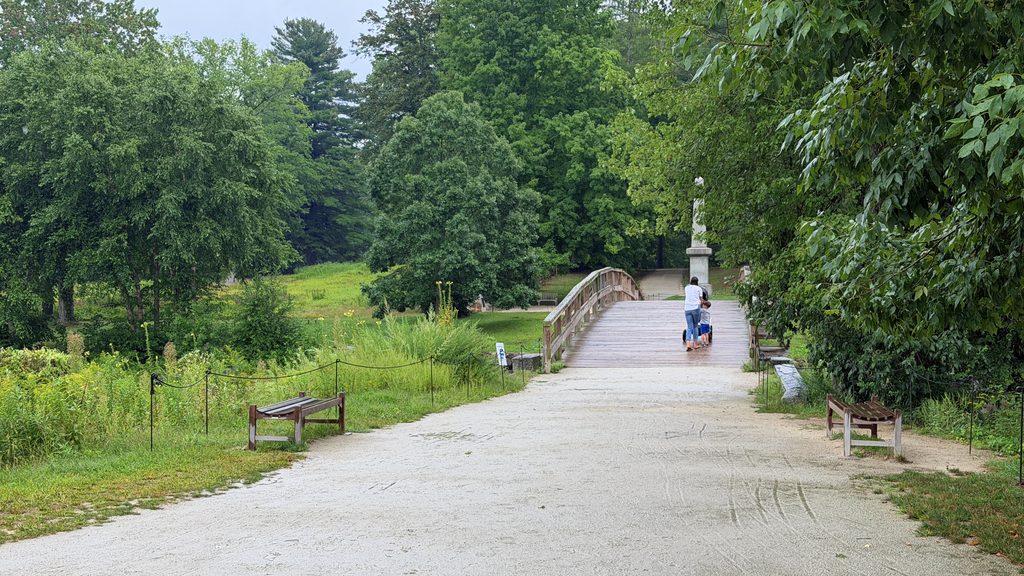
As the militia advanced toward the bridge, the British soldiers began withdrawing to the opposite side. Shots were fired, and the British opened fire on the advancing militia. The militia returned fire and the American Revolutionary War had officially started and lives on in history as “The Shot Heard Around The World“
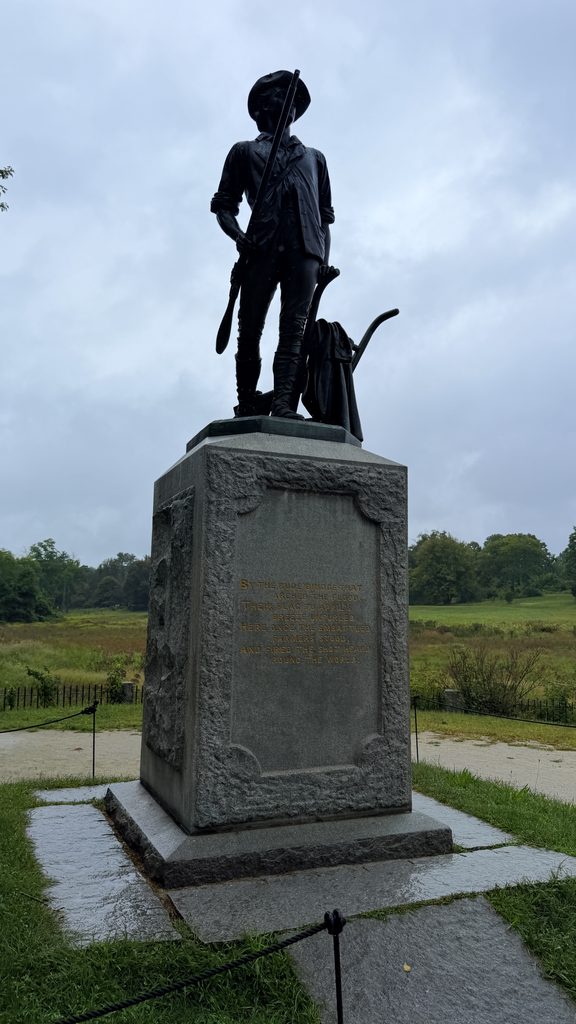
The British eventually retreated back toward Lexington along a route now remembered as Battle Road. As they tried to maintain their formation, militia forces followed and attacked them throughout the retreat, using the surrounding woods, stone walls, hills, and buildings for cover. The British continued to suffer casualties as the militia took advantage of both the terrain and the exhaustion of the retreating soldiers.
British Lieutenant John Barker later described just how relentless the fighting had become:
“Totally surrounded with such an incessant fire as it’s impossible to conceive.”
Another British officer, Henry De Berniere, described the condition of the retreating troops even more plainly:
“We began to run rather than retreat.”
By the time the British reached Lexington, the orderly march that had begun earlier that morning had become a desperate retreat under almost constant militia fire.
Stop Four: Back Home
At this point in my field trip, it was time to head home.
What I can say is that if you ever have the opportunity to visit even one of these locations, you will find no shortage of history. More importantly, you will find stories that make the events of the American Revolution feel far more immediate than they ever could on a page.
But the story is not over!
The United States of America; A Nation
The fighting at Lexington and Concord did not end the conflict. It marked the beginning of a much larger war. In the months that followed, support for resistance spread throughout the colonies, and the struggle gradually shifted from opposition to British policies toward a fight for independence.
On July 4, 1776, the Continental Congress adopted the Declaration of Independence, formally announcing that the colonies considered themselves free and independent states. By that point, the war had already been underway for more than a year, but the Declaration gave the conflict a clear political purpose.
Independence from Great Britain.
The fighting continued for years, and on September 3, 1783, the Treaty of Paris was signed, officially ending the American Revolutionary War. Great Britain formally recognized the United States as an independent and sovereign nation.
Finding Our Footing & Establishing Boundaries
Once the war had concluded, the United States had to turn its attention inward. The boundaries of the original states were relatively easy to understand because many had already been established under British rule and were largely carried forward after independence. What was much harder to determine was how the new nation would handle the enormous amount of land to the west.
Before the 1780s, colonists were well aware of the vast territory beyond the Appalachian Mountains, but British policy had attempted to restrict formal settlement there. Some settlers moved west anyway, but much of that expansion was limited, disputed, or unauthorized.
The newly formed United States needed a system for deciding how western land would be governed, surveyed, sold, and eventually incorporated into the country. Complicating matters, several states claimed large western territories based on old colonial charters. After considerable debate, many of those states agreed to surrender their western claims to the national government.
Before the Constitution had even taken effect, the United States had created a framework for turning western territories into future states. The Northwest Ordinance, adopted in 1787 under the Articles of Confederation, established a government for the Northwest Territory and outlined a process through which portions of that territory could eventually become states and enter the Union on equal footing with the original states.
The Northwest Territory was formed largely from western land claims that several states had surrendered. Stretching from the Ohio River north to the Great Lakes and west toward the Mississippi River, this vast region would eventually be divided into Ohio, Indiana, Illinois, Michigan, and Wisconsin, along with part of Minnesota.
Today, much of this region is associated with what we call the Rust Belt, a broad area of the Midwest and Great Lakes that later became one of the industrial centers of the United States.
If you have ever wondered why this area is called the “Midwest,” even though it is nowhere near what we consider the western United States today, the answer can be found in the country’s early geography. During the early years of the United States, the land beyond the Appalachian Mountains was considered the West. As the nation expanded farther across the continent, the old western territories gradually became known as the Midwest.
When the Constitution took effect, Congress reaffirmed the Northwest Ordinance under the new federal government, and many of its ideas continued to shape the way territories were organized and eventually admitted as states. The ordinance had established an important precedent. New territory could be surveyed, governed, settled, and eventually transformed into states with the same standing as those that had founded the country.
That process would become increasingly important as the United States expanded. Surveyors mapped the land, territorial governments were created, boundaries were drawn, and new states entered the Union. Over the following decades, the country would acquire additional territory far beyond the original Northwest Territory, eventually extending the United States all the way to the Pacific coast.
Conclusion
During this trip, I was reminded that history is rarely as simple as the version we first learn. Over time, complicated events are condensed into familiar stories, memorable phrases, and larger-than-life figures. Sometimes those stories are accurate. Sometimes they leave out important details. And sometimes the truth is far more complicated than the legend.
George Washington lost battles. Paul Revere never rode through the countryside shouting, “The British are coming.” “Taxation without representation” was an important grievance, but it was only one part of a much larger conflict over political power, colonial rights, and the relationship between Britain and the colonies. Heck, Plymouth Rock is just a rock.. Who knew!?
Learning those things did not diminish the story of the United States for me. If anything, it made it more meaningful.
The people who built this country were not flawless heroes following a predetermined path toward independence. They were people making difficult choices in uncertain circumstances, sometimes succeeding, sometimes failing, and often disagreeing about what should happen next. The country that emerged from those struggles was imperfect from the beginning, and its history has remained complicated ever since.
But acknowledging that complexity does not require abandoning pride in what was accomplished. Thirteen colonies with different interests and identities managed to unite, fight for independence, establish a new nation, and begin the difficult work of determining what that nation would become.
Our history is messy. It contains triumphs, failures, contradictions, courage, and mistakes. Understanding those things more clearly has not made me less proud to be an American.
It has made me more proud to understand the country as it really was, and to appreciate how remarkable it was that the United States came together at all.